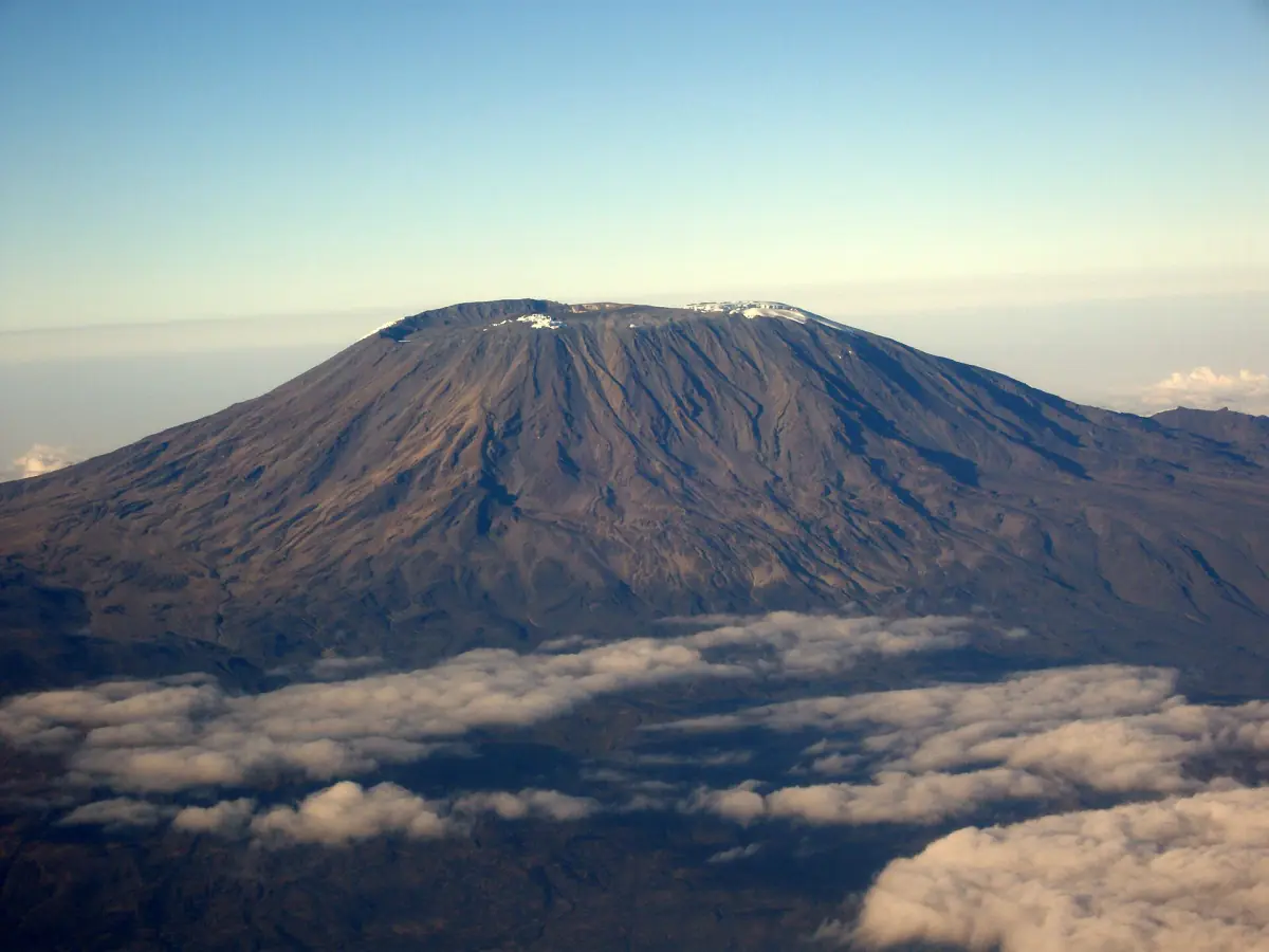
Kilimanjaro routes at a glance
Every climb of Kilimanjaro follows one of a handful of routes to Uhuru Peak at 5,895 m. Climbs start at the Marangu, Machame, Lemosho (via Londorossi) or Rongai (north) approach, and the Mweka route is used for the descent. You can only climb with a licensed operator and guide, so choosing a route is really choosing a program.
The main differences are the number of days, whether you sleep in tents or huts, and how fast the route gains altitude. The profiles below are typical programs, not fixed daily schedules, and distances vary by variant and by how they are measured.
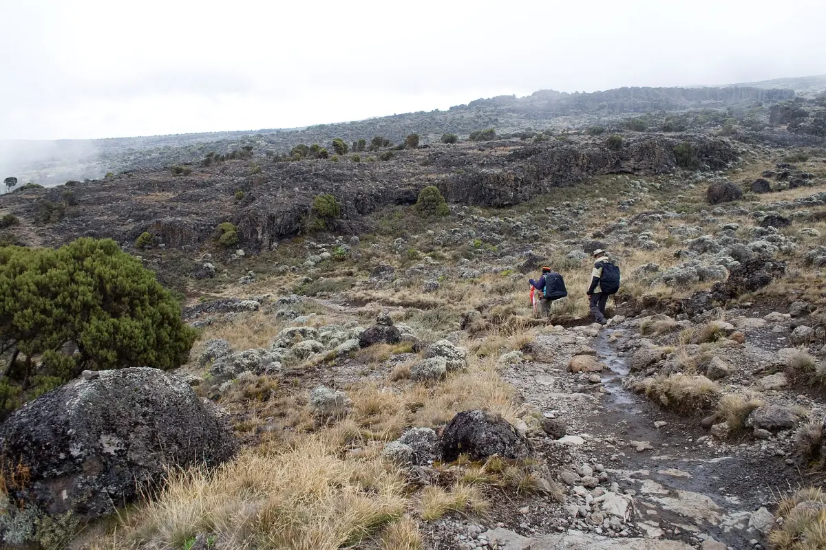
Our pick: the steep Umbwe route
Our take: a group trek on the most direct route, for experienced hikers.
Hand-picked tours, booked through GetYourGuide. Prices are indicative starting prices in US dollars (as of October 2026). Tap a tour for live availability and the current price in your currency.
Kilimanjaro treks and tours
Multi-day climbs on Machame, Lemosho, Marangu and other routes, plus day hikes in the park, with live prices and availability. Check the route, the number of days and what is included before you book.
The seven routes compared
Program lengths for 2026. Distances are approximate, and the range reflects different variants and measurements.
| Route | Days on the mountain | Sleeping | Distance | Profile |
|---|---|---|---|---|
| Machame | 6 to 8, 7 is standard | Tents | 57 to 62 km | South access, Lava Tower, Barafu, descent via Mweka |
| Lemosho | 7 to 9, 8 is standard | Tents | 65 to 70 km | West access, Shira Plateau, Southern Circuit, Mweka |
| Marangu | 5 or 6 | Huts | 67 to 82 km | Mandara, Horombo and Kibo huts, same route up and down |
| Rongai | 6 to 8, 7 is standard | Tents | 68 to 81 km | North access, descent via Marangu |
| Northern Circuit | 8 to 10, 9 is standard | Tents | About 88 km | West start, loop north of Kibo, summit from the east, Mweka descent |
| Umbwe | 6 or 7 | Tents | 46 to 53 km | Steep direct climb from the south, joins Barranco |
| Shira | 7 or 8 | Tents | About 56 km | Drive to Shira Ridge, then Southern Circuit and Mweka |
For most first-time climbers, a program of 7 or 8 days such as Machame or Lemosho leaves more room to acclimatise than the 5-day versions. If you want a bed under a roof, the 6-day Marangu program with its extra night at Horombo is the better fit.
What each route is like
Heights are rounded.
Machame
Tents all the way, from Machame Camp (2,850 m) via Shira 2 (3,810 m) and Lava Tower (4,630 m) to Barranco (3,976 m), Karanga and Barafu (4,673 m). Lava Tower is a high point during the day before you sleep lower.
Machame Route →Lemosho
A western start at Mti Mkubwa (about 2,895 m), then Shira 1 (3,505 m) and Moir (4,206 m). Programs of 8 or 9 days spread the climb over more nights.
Lemosho Route →Marangu
The hut route. Mandara (about 2,700 m), Horombo (about 3,720 m) and Kibo (about 4,703 m) have shared dormitories, and you come down the way you went up.
Marangu Route →Rongai
Starts in the north. Typical first camps are Rongai Cave (about 2,834 m), Kikelewa (about 3,600 m) and Mawenzi Tarn (about 4,316 m), with an extra acclimatisation day at the tarn.
Northern Circuit
The longest standard program. After the western start it passes Moir (about 4,206 m), Buffalo (about 4,023 m) and Third Cave (about 3,871 m), and reaches School Hut (about 4,755 m) for the summit push from the east.
Umbwe
The steep one. The first camp is around 2,900 m and Barranco at about 3,976 m comes the next day, so height arrives quickly. A longer variant adds a day at Barranco.
Shira
A vehicle takes you up to Shira Ridge, so the first night is already at about 3,597 m and the rainforest is skipped. The 8-day program adds a night at Moir.
How to choose between Kilimanjaro routes
Medical guidance for high altitude suggests that above 3,000 m you sleep no more than about 500 m higher each day and add one extra night for every 1,000 m of sleeping height gained. Compare any itinerary with that rule and ask your operator how it handles the days that gain more. Longer programs give you more nights to adjust. Fitness does not protect you from altitude illness. Talk to your doctor before you book, and read the full guide on altitude and fitness.
- Tents or huts: Marangu is the only route with huts. All others use tents set up by the crew.
- Pace: Umbwe gains height quickly, and the 5-day Marangu program leaves the fewest nights. Lemosho, Northern Circuit and the longer Machame versions spread the climb over more days.
- Direction: Machame and Umbwe approach from the south, Lemosho from the west and Rongai from the north. Marangu uses the same route up and down.
- Price: A 7-day Machame trek starts from $1,799 on a 2026 group departure. Private offers start higher, see the cost guide.
Not every route is open at all times. Bush fires have caused temporary closures, so ask your operator for the current status before you pay.
Plan the rest of your climb
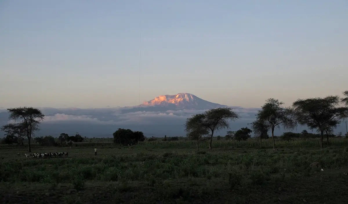
Best time to climb
Dry windows, rainy seasons and what the weather does at height.
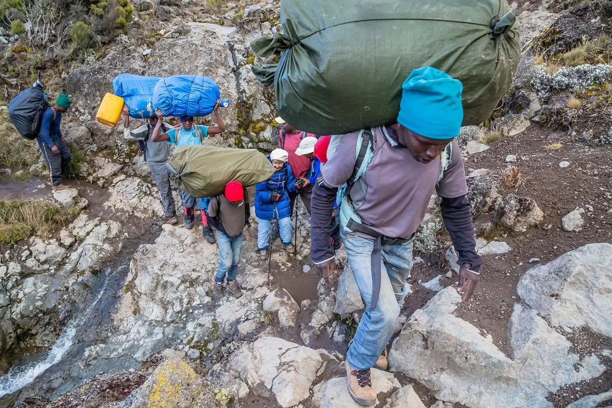
Packing list
Layers, boots and the gear you can rent in Moshi.
Climbing Kilimanjaro
Days, organisation and what a trek includes.
After the climb many people add a wildlife trip. The Serengeti safari guide and the Ngorongoro safari guide cover the parks, and our climb and safari page shows how to combine them.
Kilimanjaro routes: frequently asked questions
How many routes are there on Kilimanjaro?
This guide covers seven: Machame, Lemosho, Marangu, Rongai, Northern Circuit, Umbwe and Shira. Routes and variants are counted differently, so you may see other numbers elsewhere.
Which route has huts?
Only Marangu. It uses the Mandara, Horombo and Kibo huts. Book them through your operator in advance and bring your own sleeping bag.
Which route is the longest?
The Northern Circuit, at about 88 km and 8 to 10 days, with 9 as the standard program.
Is the shortest route the right choice?
Not necessarily. Short programs leave fewer nights for your body to adjust to altitude. Talk to your doctor and choose the longest program that fits your plans.
Can I climb without an operator?
No. Climbs are only allowed with a licensed operator and guide, and solo trekking is not permitted.
Why do distances differ?
Distances are approximate totals for each variant, and gate-to-gate GPS tracks give different numbers. Treat every figure as a rough guide.